View Glider Data
Ocean gliders are autonomous underwater vehicles used to collect ocean data, including temperature, salinity, conductivity, and other important measures. Unlike stationary sensor platforms such as buoys, gliders move through the water column and collect data at different locations over time.
Note
For more information on gliders, see NOAA’s “What is an ocean glider” page.
There are 2 ways to access glider data from a data catalog:
Filter the catalog by making sure only the moving platforms button
 is selected.
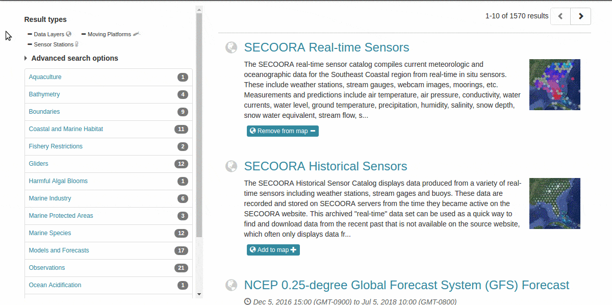
Select the tag for
Gliders.
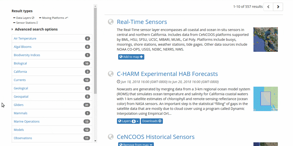
From there, it’s easy to explore glider data:
Search, scroll, or further filter the glider datasets to find the one you want.
Click on the visualize button
 .
.
The glider data will be summarized as seen below:
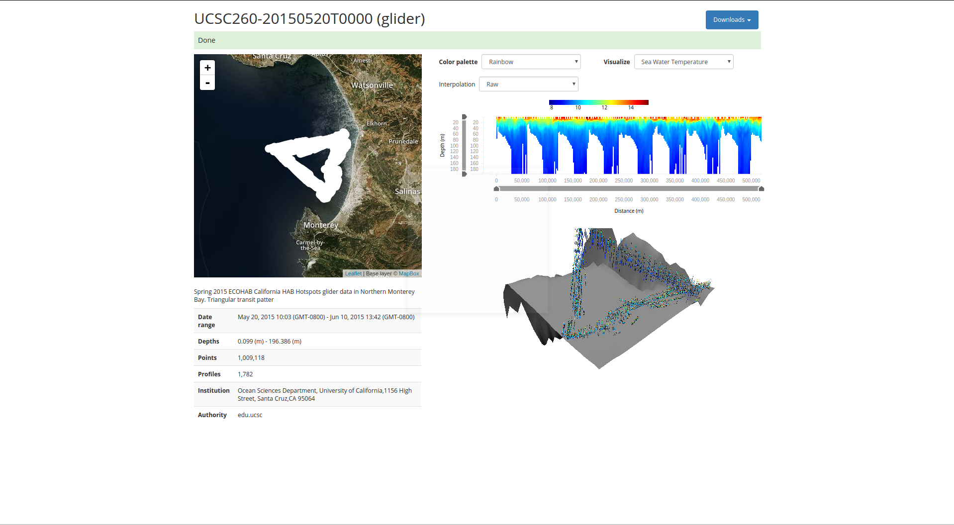
Glider track overlaid on imagery on the upper left.
Metadata on the lower left.
Depth-temperature profile in a 2-dimensional plot on the upper right.
A 3-dimensional plot of depth and temperature along the glider path on the lower-right.
Additionally, the dataset can be downloaded in several different formats by using the blue downloads button in the top right ![]() .
.